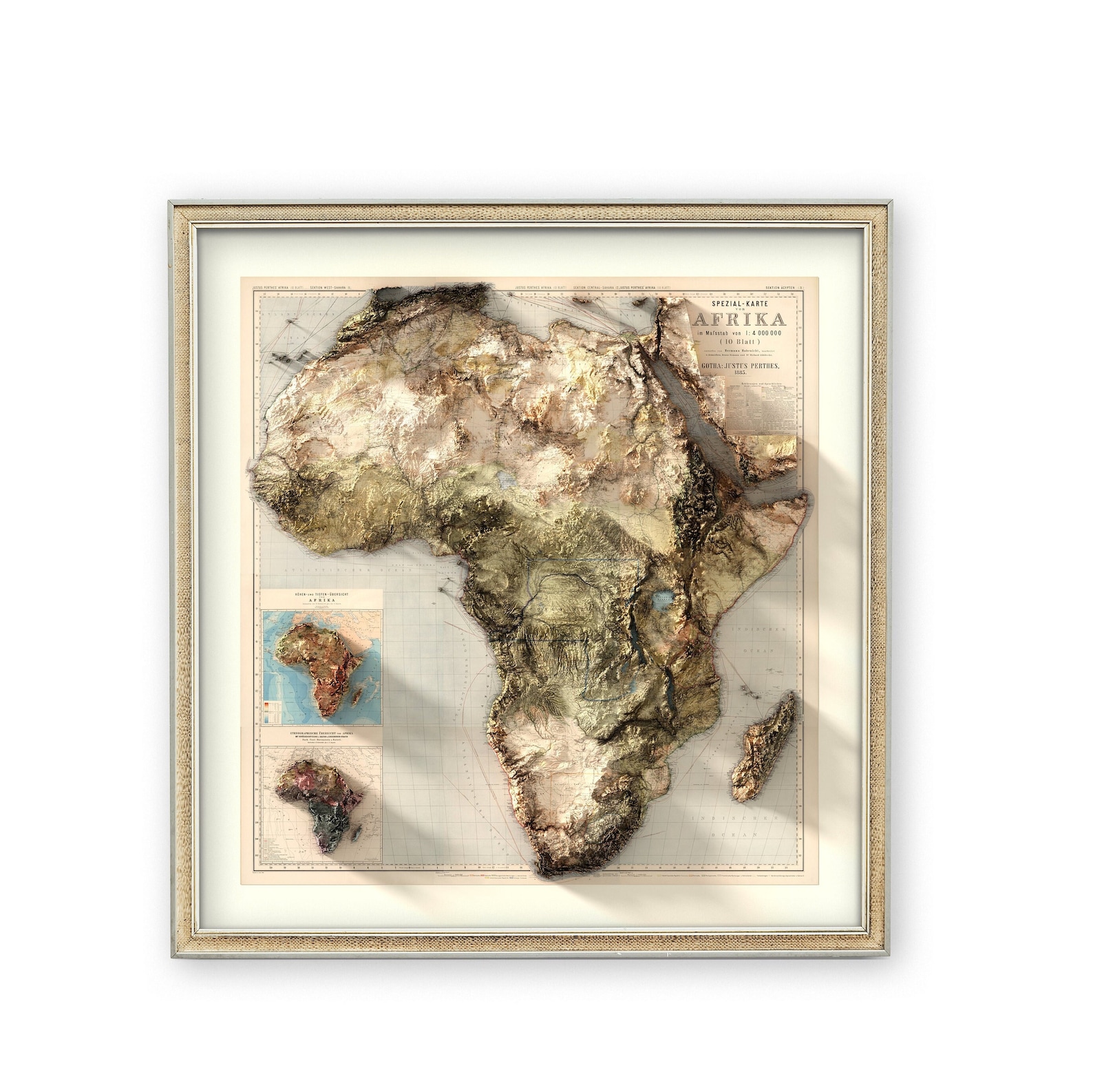
This stunning 3D relief map of Africa from the 1800s shows the continent before artificial borders divided it. Notice the mountain ranges, river systems, and natural landscapes that shaped how communities traded, migrated, and shared resources for centuries.
The Sahara was a highway for trans-Saharan trade. The Nile, Congo, and Niger rivers connected civilizations. Mountain ranges and valleys created natural trade routes where goods, ideas, and culture flowed freely across regions.
Pre-colonial Africa operated on geography, not arbitrary lines drawn in Berlin. Gold from West Africa, salt from the Sahara, ivory from Central Africa, and spices from East Africa moved along established routes that made economic and geographic sense. Resources weren't trapped by borders.
Today's borders often cut through ethnic groups, split natural resource zones, and disrupt historical trade patterns. This map reminds us that Africa's true geography tells a different story of interconnected regions and shared prosperity.